by Martin | Drone Survey & Mapping
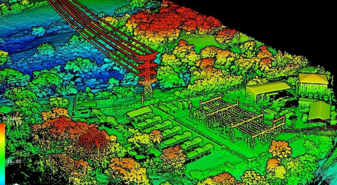
LiDAR uses laser pulses to capture 3D terrain data through vegetation. Photogrammetry uses overlapping aerial photographs to create high-resolution 2D maps and 3D models. Both are professional drone survey methods, but they solve different problems. This guide...

by Martin | 3D Modelling, ADS Creative, Drone Survey & Mapping, Photogrammetry, Scaled Reality
Kavaledurga is a grand fortification situated on a slope at an altitude of 1541 meters. Among the numerous fortresses of Karnataka, one that can’t be missed is Kavaledurga in Shimoga district.There are intriguing stories and tales labeling this post numerous...
by Jai | 3D Modelling, Photogrammetry, Scaled Reality
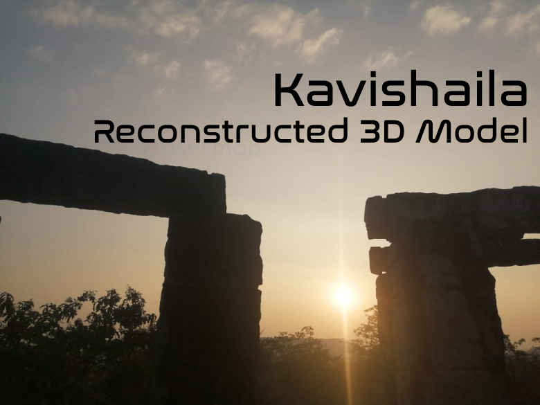
Is there a need for digital heritage? So, there you have it That’s definitely the case. There is no way of telling when, where, or how items go missing.Axesmap has digitally preserved a monument by using a technique called photogrammetry. The name of the...